Sugarloaf Mountain
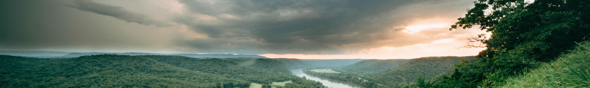
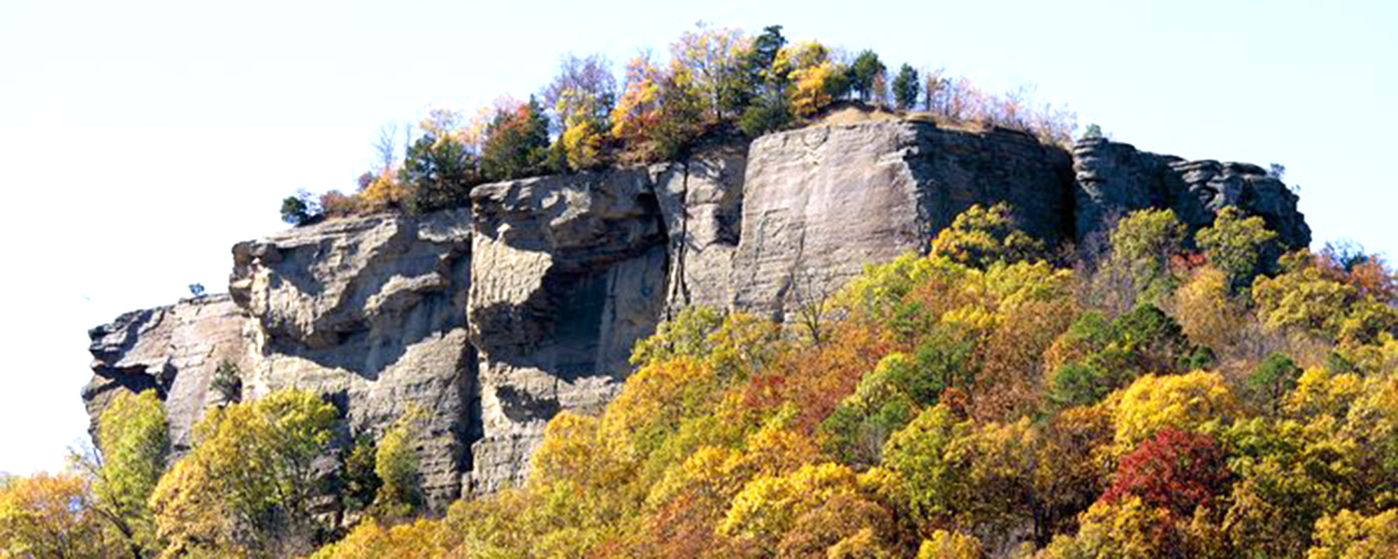
Sugarloaf Mountain rises 690 feet. It is an erosional remnant beside the Little Red River in Arkansas. The Osage Tribe who used to live there called it Tonawanda and from the top there is a view that extends for miles in every direction. The earliest settlers called it Sugarloaf because it looked like the shape of the loaves of unrefined sugar in use at that time. Sugarloaf became the name of the community that developed nearby. It was later changed to Heber Springs.
The Summit Trail is the most difficult, hikers climb the rock to the top. The Tonawanda Base Trail is a moderate trail, and the Hidden Pond Trail is handicap accessible. The Wildlife Trail will be complete by summer 2018. This trail will eventually connect to the Heber Springs Sulfur Creek Trail that ends near Greers Ferry Lake.
Share This Page